Models & specificitiesDescriptiveReviewsA questionBesoin de formation
Models & specificities
Back to menu
HideDisplay unavailable items
Reference
Price inc VAT
Zone n°
Price inc VAT
010-C0799-00
£229.92
VEU455S
£229.92
010-C0798-00
010-C0798-00
£229.92
VEU454S
£229.92
010-C0801-00 (Unavailable)
010-C0801-00
£229.92
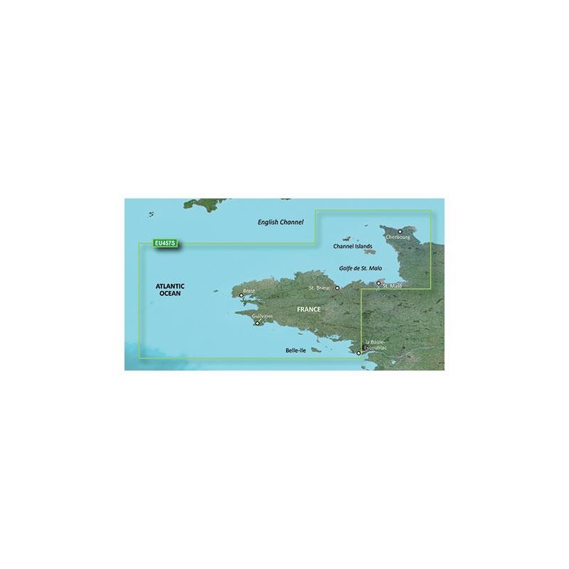
VEU457S
£229.92
010-C0809-00
010-C0809-00
£229.92
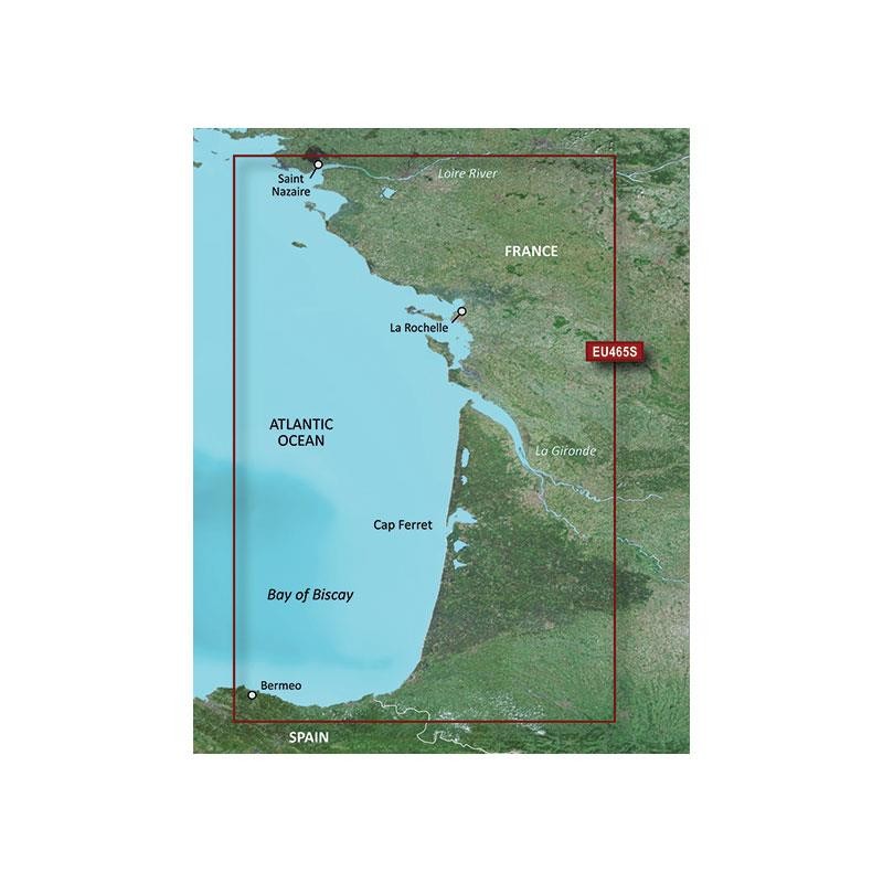
VEU465S
£229.92
010-C0810-00
010-C0810-00
£229.92
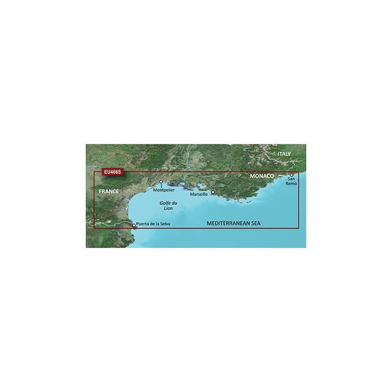
VEU466S
£229.92
010-C0829-00
010-C0829-00
£229.92
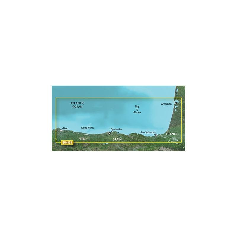
VEU485S
£229.92
010-C0800-00
010-C0800-00
£229.92
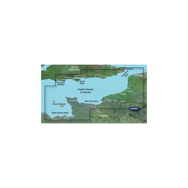
VEU456S
£229.92
010-C0795-00
010-C0795-00
£229.92
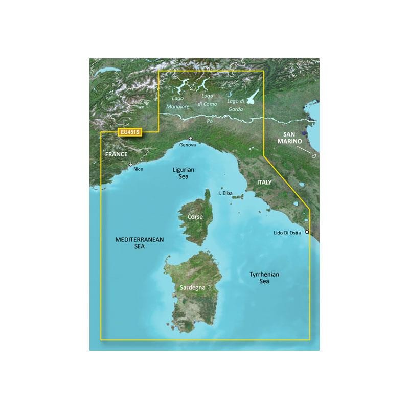
VEU451S
£229.92
010-C0805-00
010-C0805-00
£229.92
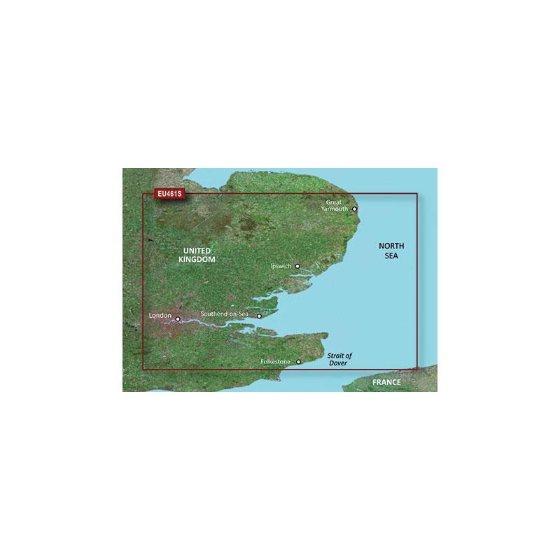
VEU461S
£229.92
010-C0808-00
010-C0808-00
£229.92
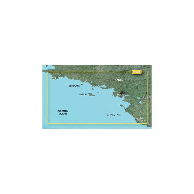
VEU464S
£229.92
010-C0807-00
010-C0807-00
£229.92
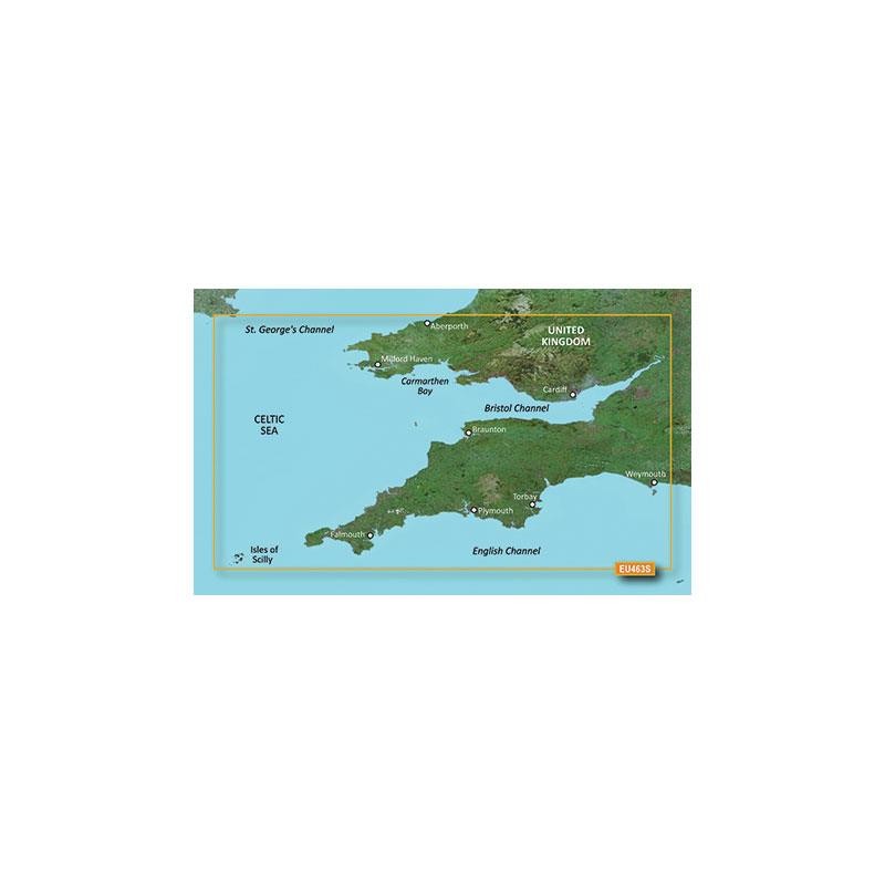
VEU463S
£229.92
010-C0823-00
010-C0823-00
£229.92
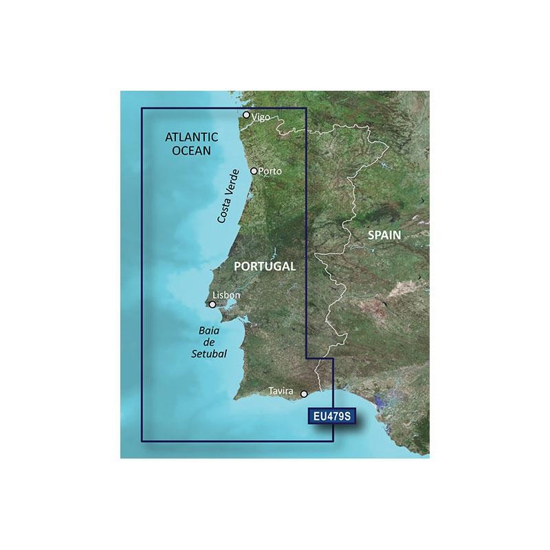
VEU479S
£229.92
010-C0830-00
010-C0830-00
£229.92
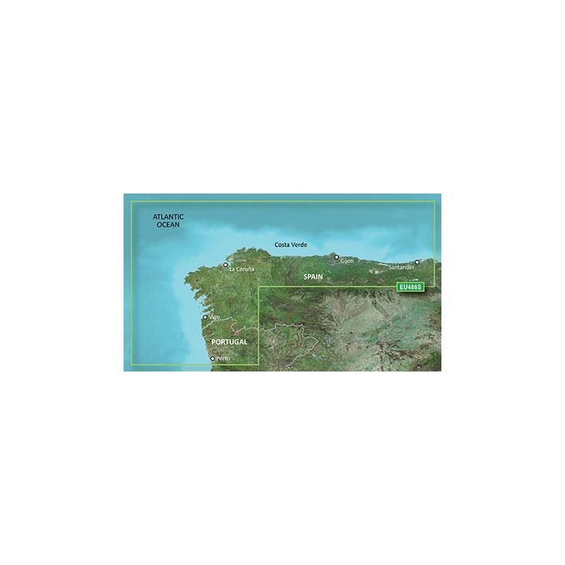
VEU486S
£229.92
010-C0846-00
010-C0846-00
£229.92
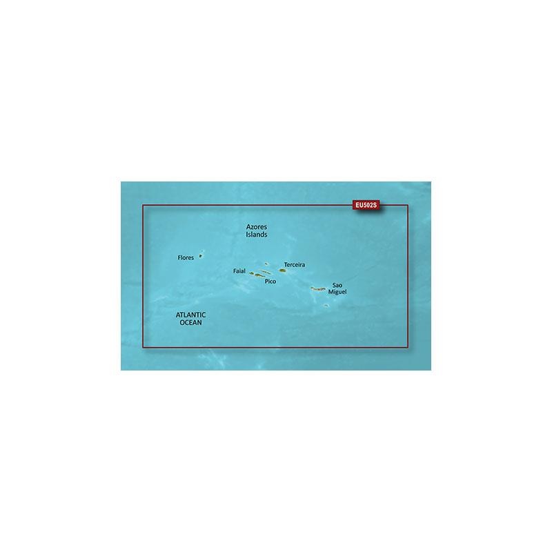
VEU502S
£229.92
Models & specificitiesDescriptiveReviewsA questionBesoin de formation
Descriptive
Back to menu
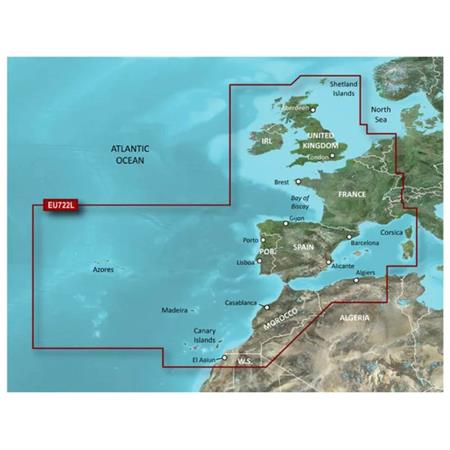
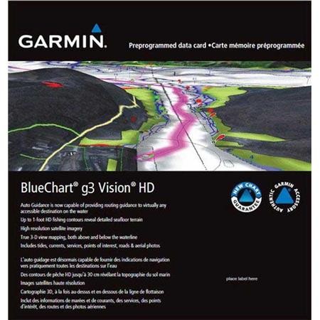
Topographic chart Report France GARMIN.
Compatible with cartographic GPS color of Garmin, the last generation of vectorized topographic charts of Garmin integrates the data of IGN on the scale 1/25 000. Find on the charts of REPORT France of much information such as the lakes, rivers, forests, mountains, roads, paths, refuges, etc the frequency of the level lines and the studied use of a play of color, allows one made visual incomparable and a quality of posting similar offers to you to that of a chart paper.
New découpages REPORT France is available in 5 versions: Whole France - North-eastern area - North-western area - South-eastern area and South-western area.
uses the new cartography REPORT France is delivered on DVD-Romanian for an installation on PC and of a canned chart microSD™/SD™ of the bought area. On your PC, REPORT France allows you to create roads, or of Waypoints and to prepare and or to safeguard your routes. While simply inserting the chart microSD™/SD™ in the reader of the device, you will obtain the cartography on your GPS without passing by the computer.
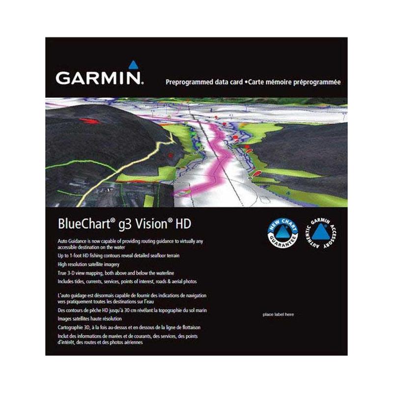
Charts in 3D Affichez from now on on your GPS the route to be followed in 3 Dimensions (compatible with Colorado and Oregon).
Configuration requise Ordinateur PC with processor Pentium or higher - 32 Mo of RAM - 4 Go of disk space - Windows XP Service Pack 2 or Vista - Reader of DVD - Screen 256 color - Port USB - an access Internet is essential to activate the MapSource soft with a GPS Garmin
Ordinateur Mac: PowerPC G3 or version superior - 512 MB RAM - 2 Go of disk space - Mac OS X 10.4 or more - Reader of DVD - Posting 1024 X 768 - Screen 256 color - Port USB - an access Internet for activation of the soft
Contained pack - DVD-Romanian with the soft MapSource and Topo France - Card pre microSD™ in charge of the bought area - Adapter for card microSD™ on charts SD™ of format - Instructions of unlocking

 010-C0798-00
 010-C0801-00
 010-C0809-00
 010-C0810-00
 010-C0829-00
 010-C0800-00
 010-C0795-00
 010-C0805-00
 010-C0808-00
 010-C0807-00
 010-C0823-00
 010-C0830-00
 010-C0846-00